 19 hours ago
20
19 hours ago
20
 Image source, Getty Images
ByTomasz Schafernaker
BBC Weather
After the spell of showery weather earlier this week, a strong area of high pressure is set to bring bright and sunny weather to much of the UK this weekend.
Daytime temperatures will feel pleasantly warm - though a long way off from the record heat experienced earlier this month.
Nights are expected to be mostly clear, leading to a significant temperature contrast from morning lows to afternoon highs.
While Saturday and Sunday will bring a brief break from the rain for many, unsettled weather will return early next week.
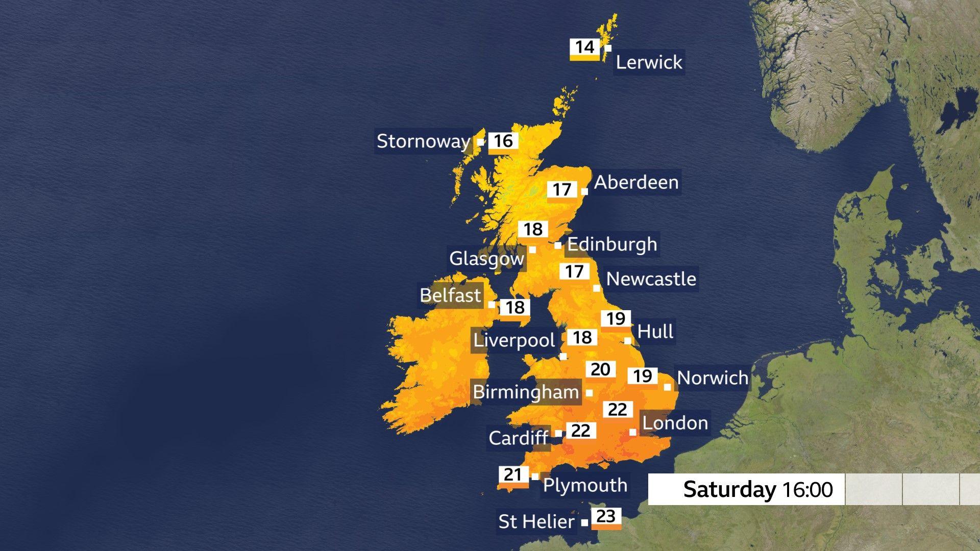
Saturday will get off to a bright and fresh start, as many wake up to a chill in the air.
With morning temperatures in rural areas hovering around 3C, and perhaps only 6-9C in some bigger cities, you would think autumn was just around the corner.
These values are not unusual for the end of August, which can bring larger temperature swings than just a month ago.
Despite that, afternoon highs in northern areas should still warm up to 18C while central and southern parts will reach the low 20s - very close to the average for the end of August.
It is also expected to be dry, bar the odd shower across the Scottish Highlands where more cloud could bubble up.
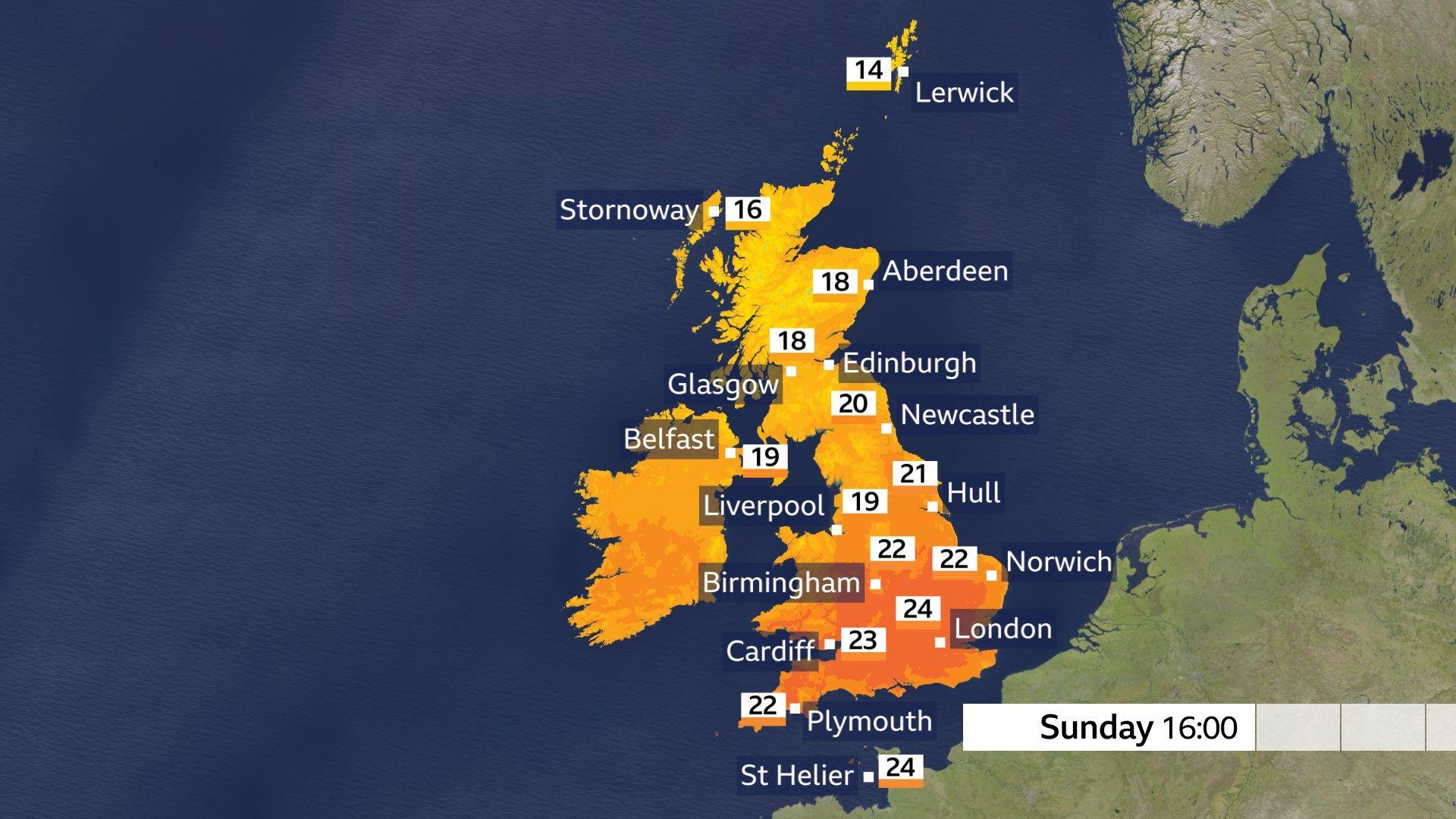
Sunday will bring mostly sunny weather.
Light winds, with bright or sunny skies, are expected on Sunday morning after another fresh start to the day.
The afternoon is forecast to be warm, with scattered fair-weather cloud across southern and central parts of the country, and only a little more cloud forecast for northern England, Scotland and Northern Ireland.
It will be somewhat warmer in the south than on Saturday, with high temperatures peaking in the mid-20s Celsius in Southampton, Reading and London.
While the weekend is expected to bring a strong high, it is not forecast to remain in place for long.
There are indications that it will move away to the east as early as the start of next week.
This will give low pressure an opportunity to encroach and bring the chance of much-needed rain.
A showery low will edge closer to southern and south-western Britain as it drifts out of France as early as Monday night.
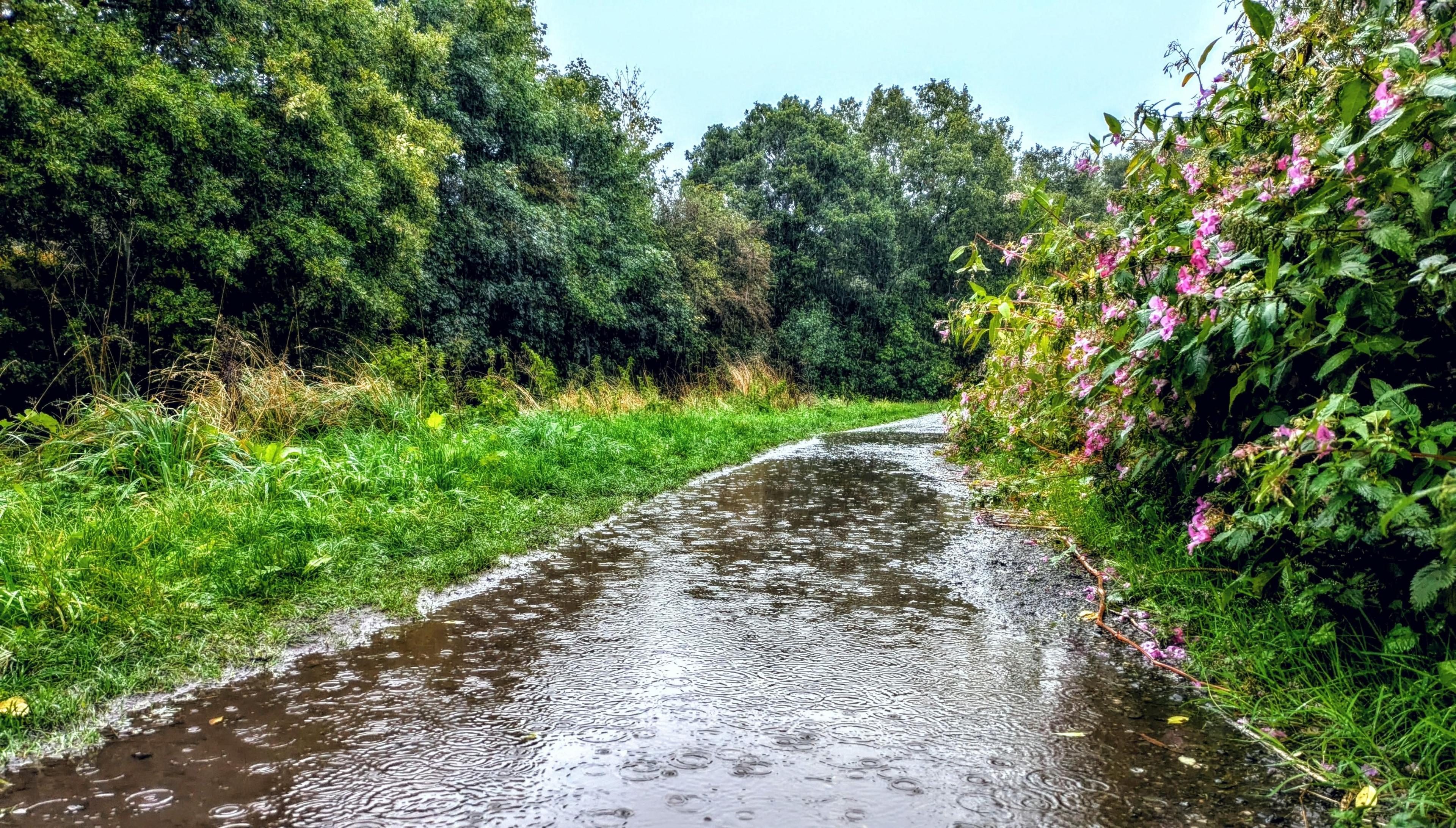 Image source, BBC Weather Watcher/ Goodwalkerme
Parts of Lancashire saw more than a third of average monthly rainfall in 24 hours earlier in the week
The extent of the showers is uncertain, but some could reach the Channel coast all the way from Cornwall to Kent before spreading further north overnight into Tuesday.
More substantial rain, however, is expected from midweek onward with some computer models developing a deeper low close to the UK.
While it is hard to predict exact amounts of rainfall, western areas will see the most.
Upland areas could typically see 30-40mm by the end of next week, with eastern Britain receiving about half of that.
Keep up to date with your local conditions on the BBC Weather website and app.