 3 months ago
102
3 months ago
102
Snow and ice warnings for parts of the UK have come into force for the start of the new year.
Arctic air is spreading across the UK bringing the beginning of a lengthy period of colder weather.
With lower temperatures, amber cold health alerts from the UK's Health Security Agency (UKHSA) cover the whole of England.
There could be some disruption to travel plans as the wintry weather and warnings continue into the weekend.
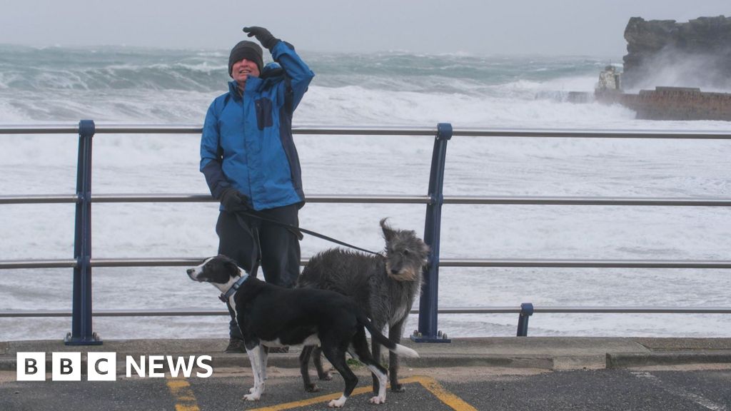
New year revellers in southern England saw temperatures below freezing around midnight and there is a widespread frost on the first morning of 2026.
Overnight lows fell to -6.2C in Bournemouth and -2.5C in Cardiff, with temperatures widely below zero elsewhere across southern England and South Wales.
Further north, cloud and patchy rain prevented most areas from falling below freezing but with colder Arctic air moving in, heavy snow has begun to fall in Northern Scotland.
With significant snowfall expected in Northern Scotland, a Met Office yellow warning is in force until 23:59 on Friday.
Accumulations could be around 2-10cm at low levels but up to 20-30cm over higher ground with some drifting and blizzards.
Delays on the roads with the risk of vehicles becoming stranded are possible.
Some rural communities could also be cut off, according to the Met Office.
Elsewhere on New Year's Day cloud and rain will clear southward leaving a lot of dry and sunny weather.
But, with a strong northerly wind it will feel cold despite temperatures of 1 to 7C.
Amber cold health alerts from the UKHSA for the whole of England will be in place until 12:00 on 6 January.
The alerts warn of a rise in deaths particularly among elderly and vulnerable people.
Other consequences of cold weather include temperatures inside hospitals and care homes dropping below the levels recommended for assessing health risks, and challenges for people keeping indoor temperatures at the recommended 18C, according to the UKHSA.
Overnight into Friday an area of rain, sleet and snow will spread through Northern Ireland, Wales, parts of North-West England, the Midlands and southern England.
A Met Office yellow warning has been issued for large parts of England and Wales from midnight on Friday until 12:00 GMT on 2 January.
A separate yellow warning is in place for Northern Ireland between midnight and 10am on Friday,
Snowfall may last a couple of hours, with 1-2cm possible at low levels and up to 5cm of snow over the higher ground of Wales and the southern Pennines so new year travel disruption is possible.
Meanwhile the frequent snow showers will continue in northern Scotland right through until the weekend.
Strong winds on Saturday will bring blizzards and drifts of snow with the north-west Highlands and Grampians perhaps seeing as much as 60cm of snow by the end of the weekend.
An additional Met Office yellow warning is in force for northern and western Scotland covering the whole weekend.
Temperatures will be around 3-5C at best with some parts of Scotland and northern England experiencing 'ice-days' where temperatures won't rise above freezing.
These low temperatures with widespread overnight frosts are expected to continue well into next week.
Stay up to date with the latest forecast on the BBC Weather website or app as details are likely to change.