 3 months ago
119
3 months ago
119
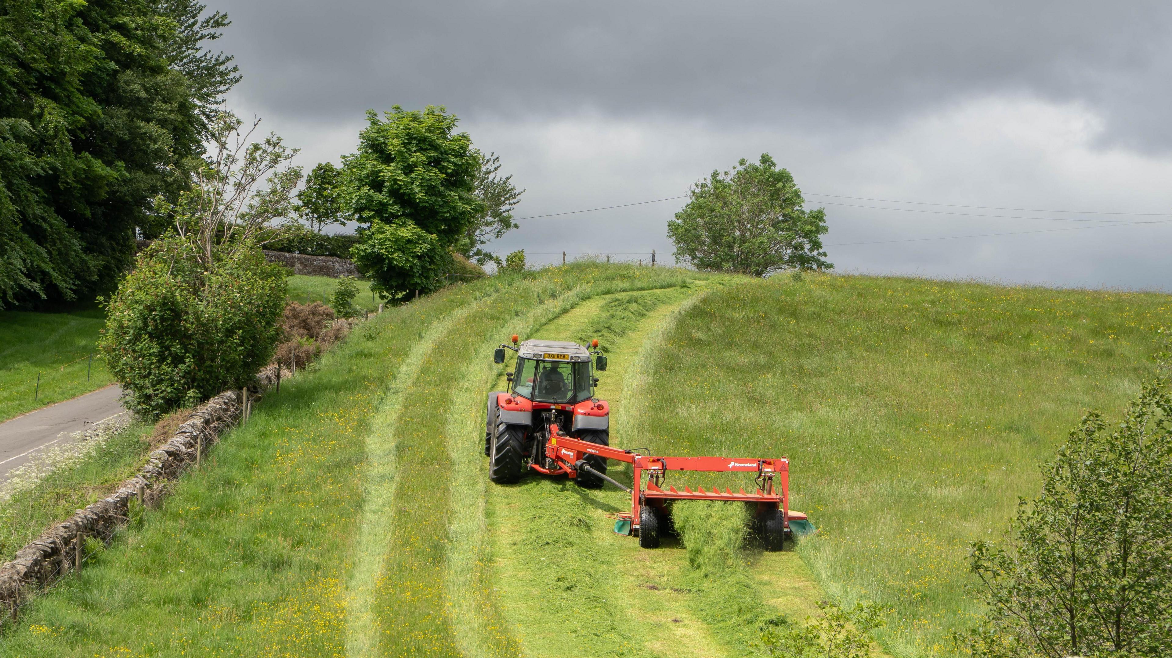 Image source, BBC Weather Watchers / videoman
Simon King
Lead Weather Presenter
After the warmest and sunniest spring on record for the United Kingdom, meteorological summer has started rather wet, windy and cool.
While heavy rain on Tuesday morning gradually clears away, the rest of the week is looking distinctly unsettled with showers and thunderstorms for many of us.
Temperatures will also be around 2 to 4C below average for early June so it will feel very different to conditions we had throughout May.
Rain will at least be welcomed by gardeners and growers after a long dry period in May.
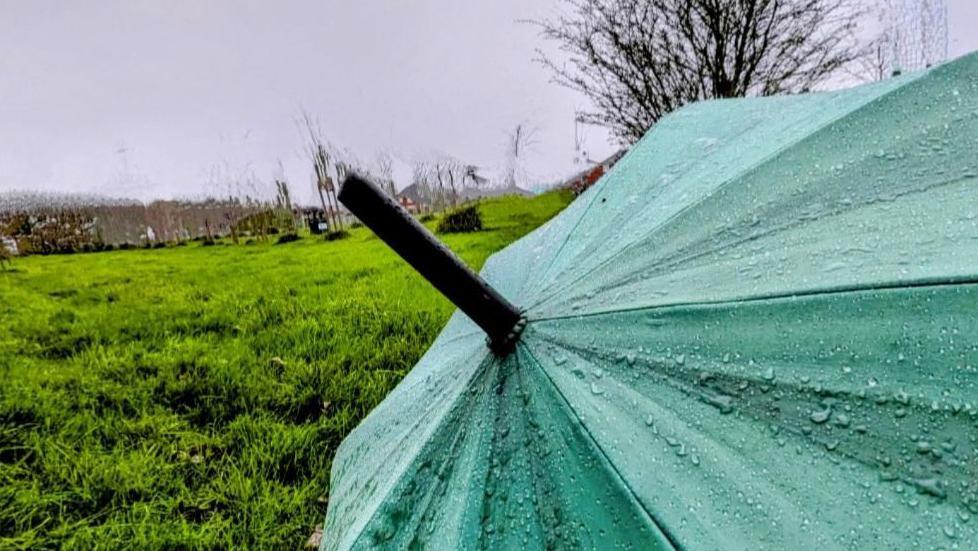 Image source, BBC Weather Watchers / Jean's Jewels
The wet weather follows the driest spring in more than 50 years
Why has the weather turned wet?
The reason for the change in weather is down to the jet stream - a fast wind high in the atmosphere - shifting position and alternating the pressure pattern in the UK.
Settled weather associated with high pressure has been replaced by areas of low pressure - unsettled weather - moving in from the Atlantic.
Wet and windy weather on Tuesday morning makes way for sunny spells and showers, which will be most frequent in northern and western parts of the UK.
The showers are being blown in on a brisk westerly wind. There's also the possibility of a few of the showers being heavy and thundery at times.
By Wednesday night and Thursday morning, there could be more persistent thundery rain across England and Wales.
Maximum temperatures will range from 10C in northern Scotland to 19C in south-east England.
The average in June is around 15 to 20C so it will be cooler than average for many of us.
Any sign of sunny weather?
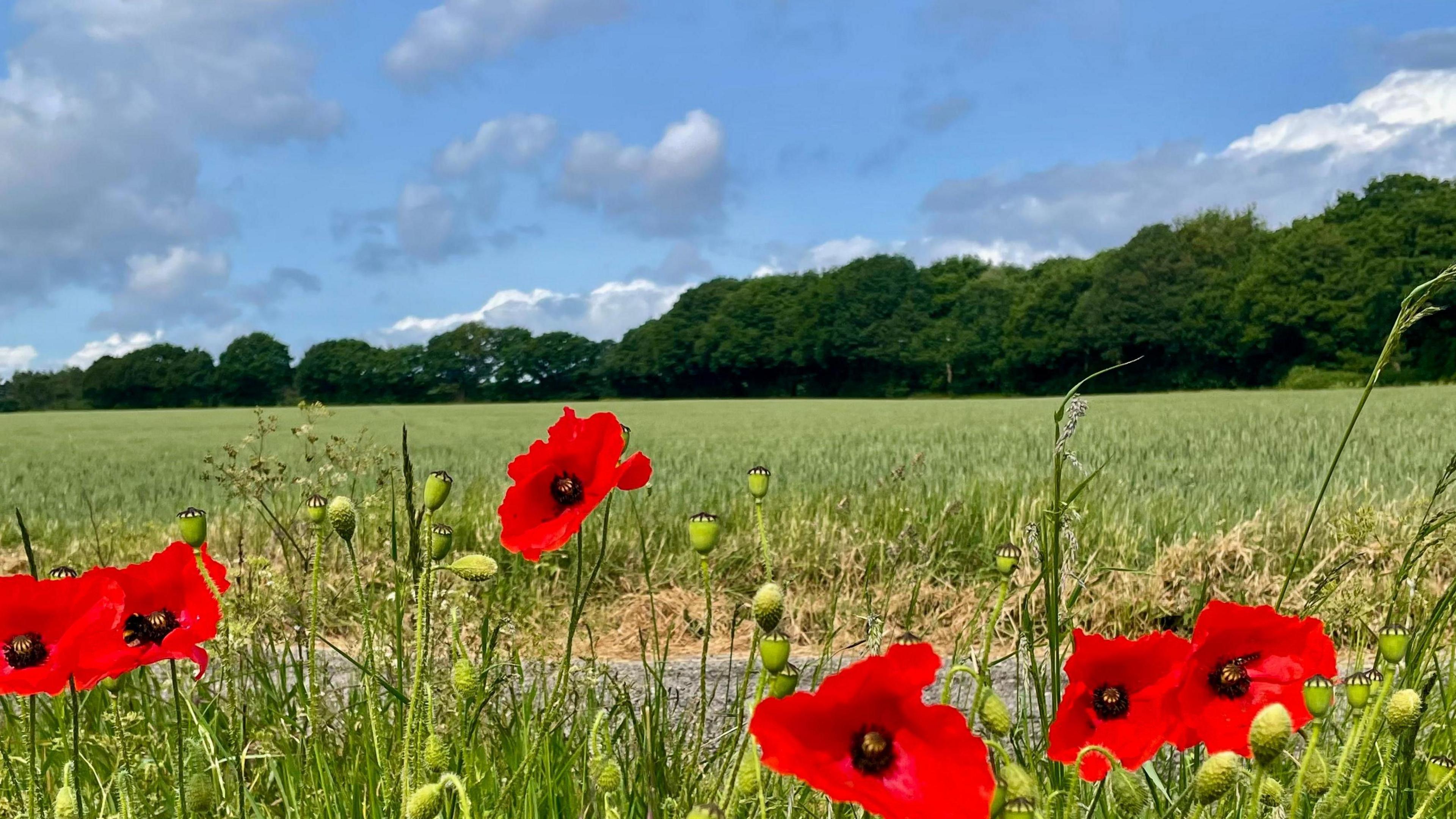 Image source, BBC Weather Watchers / Stevie T
While the forecast is mostly unsettled with showers, there will still be occasional brighter or sunnier interludes.
The outlook into the weekend remains rather mixed with further sunny spells and showers.
Even beyond, if you are checking for your local weather on the BBC Weather app, you might see the shower symbol featuring quite a lot.
The Atlantic influence and low pressure is likely to continue into next week with the wettest weather towards northern and western areas of the UK.
Some brighter and slightly warmer conditions are more likely around mid-week, especially in southern areas.
Temperatures may start to increase by mid-week too.
As for the rest of summer, in their latest three monthly outlook, the Met Office suggest that summer overall will be hotter with a greater chance of heatwaves.