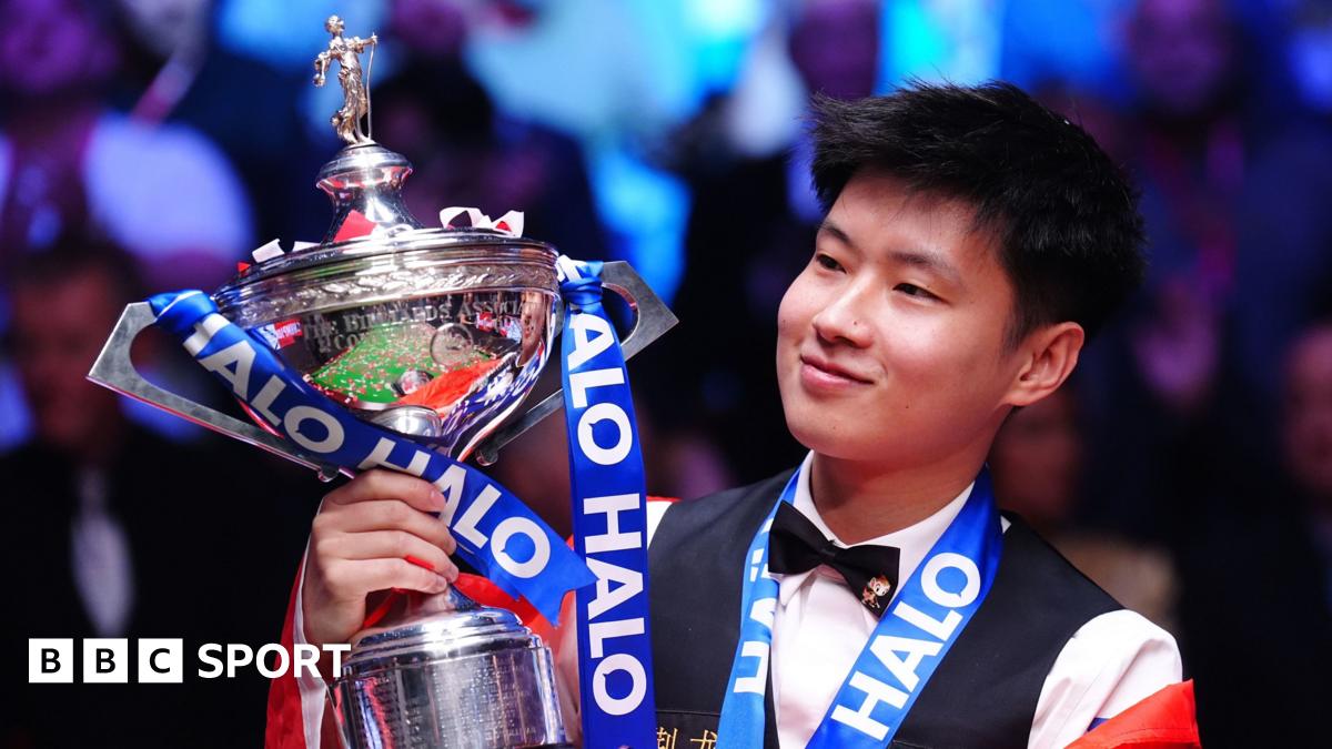
 1 month ago
57
1 month ago
57
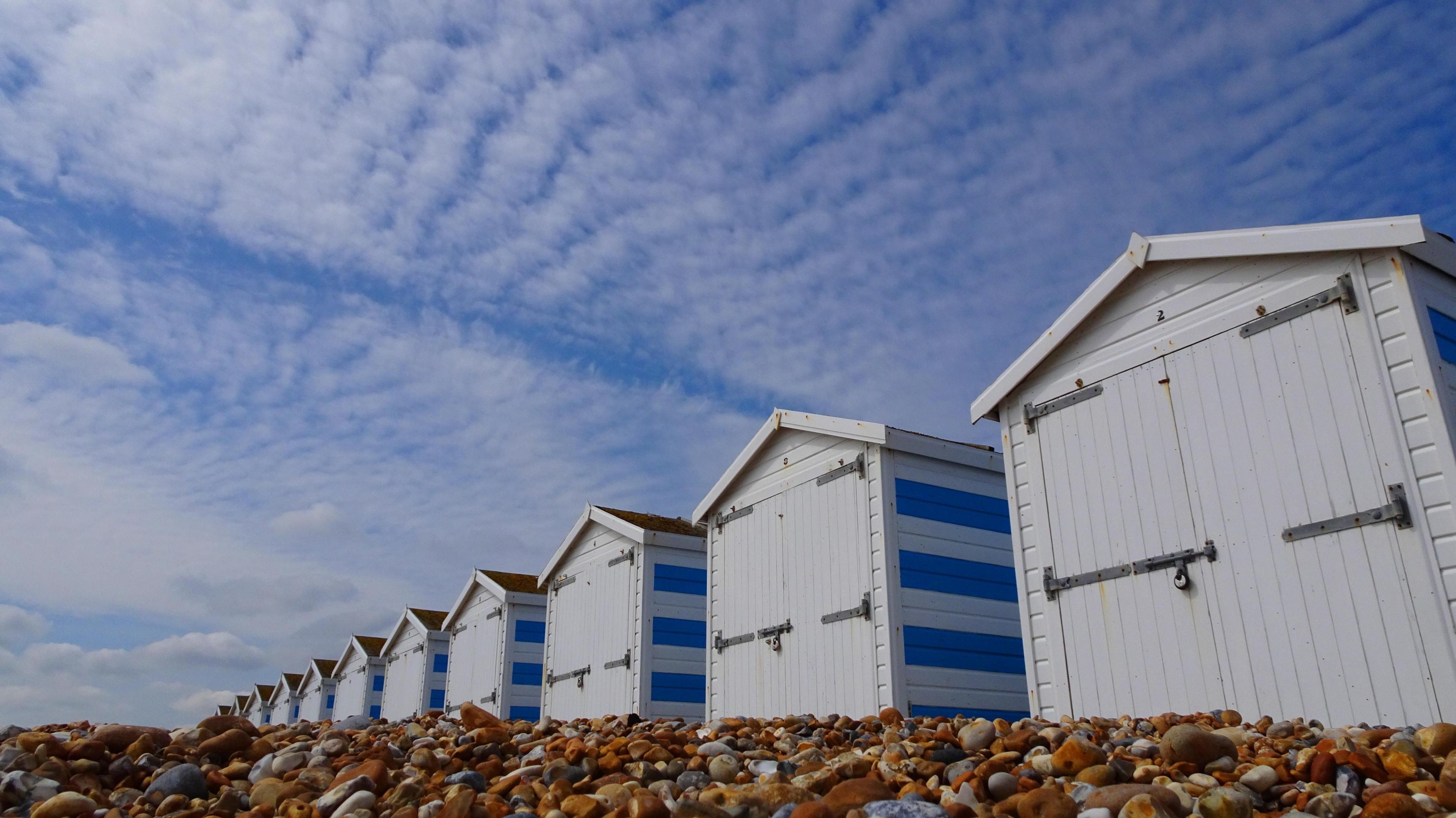 Image source, BBC Weather Watchers / Peter and Leah
Darren Bett
Lead Weather Presenter
Sarah Keith-Lucas
Lead Weather Presenter
Parts of England are set to reach 26 or even 27C by the middle of next week.
High pressure sitting to the east of the UK and low pressure to the west means that heat will be drawn up from continental Europe.
This warm weather could remain with us until the end of next week.
When will the heat arrive?
Through the weekend, a gradual rise in temperature will be noticeable. By Sunday, England and Wales will see highs of 16 to 21C - just in time for the London and Manchester marathons - whilst Scotland and Northern Ireland will stay cooler and more unsettled.
It's into Monday that the heat starts to build more widely, and then temperatures will increase day on day. The peak of the warm spell will be on Wednesday and Thursday.
Areas most likely to experience the warmest weather include central southern England to the west of London, such as Oxfordshire and Hampshire, and into the Midlands.
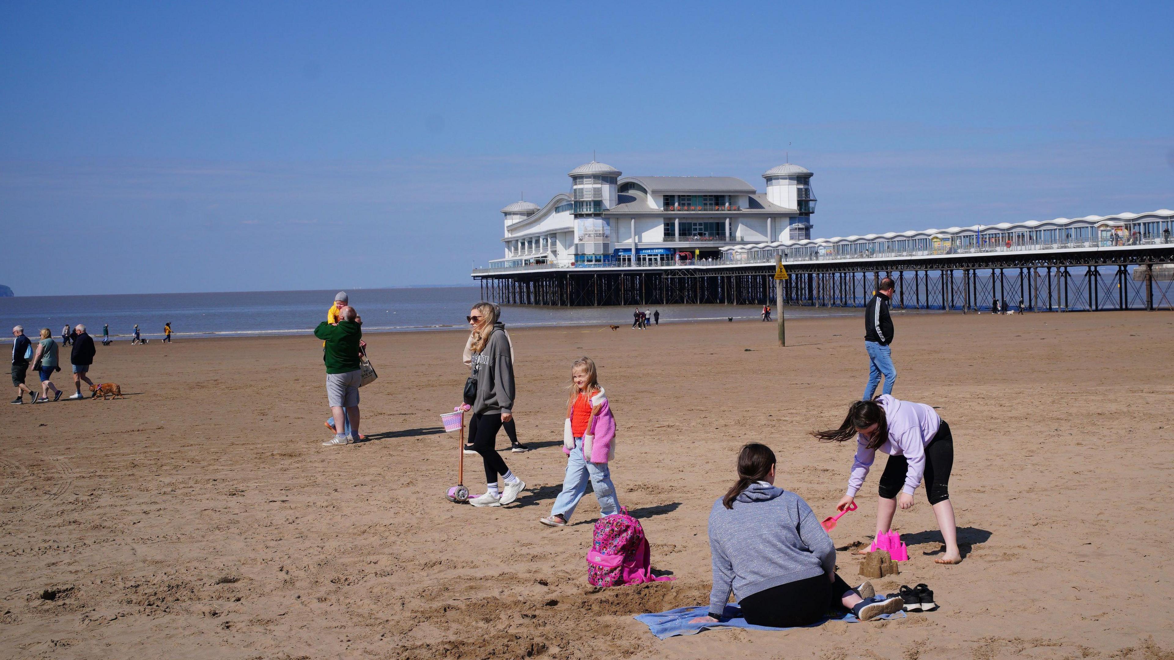 Image source, PA Media
For the London Marathon on Sunday it will be dry and mostly sunny with light winds. Temperatures at the start of the race will be 13C but for runners finishing around mid-afternoon it will be a warm 21C.
For the marathon in Manchester there will be spells of sunshine and it should stay dry. A gentle south-westerly breeze is expected with the temperature peaking at 20C in the afternoon.
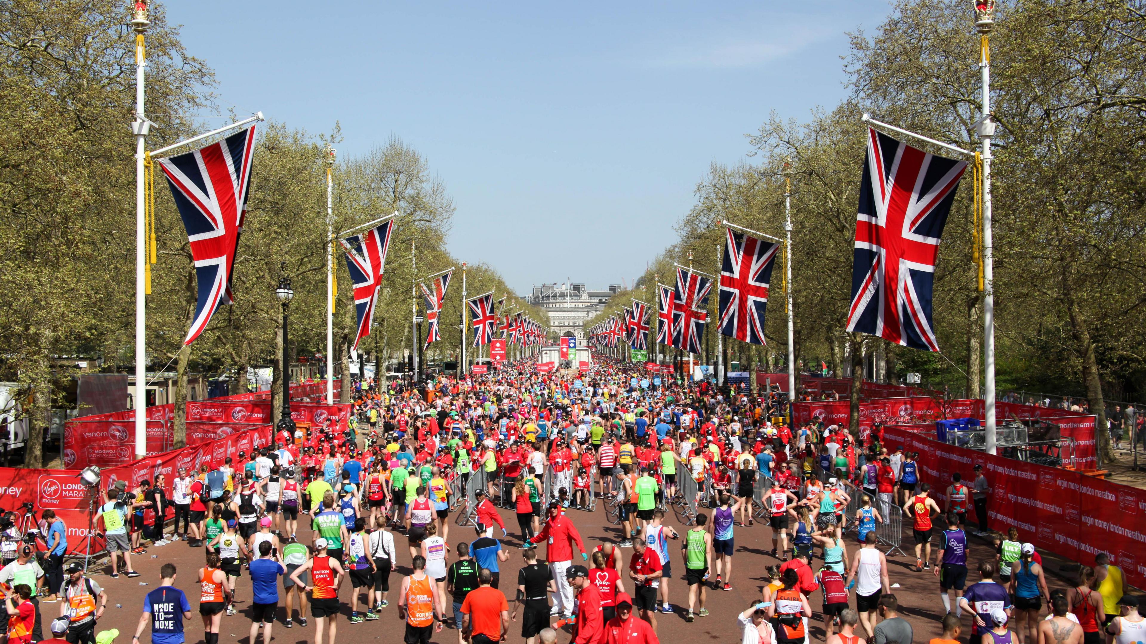 Image source, Getty Images
The hottest London Marathon on record was back in 2018 when temperatures reached 24.2C
Is this a heatwave?
Whilst the upcoming spell of warmth will see temperatures 10 degrees above what we'd usually expect, it's not technically going to be a heatwave in meteorological terms. For this we'd need to see at least 3 consecutive days at or above the 'heatwave threshold' which varies depending on where you are in the UK.
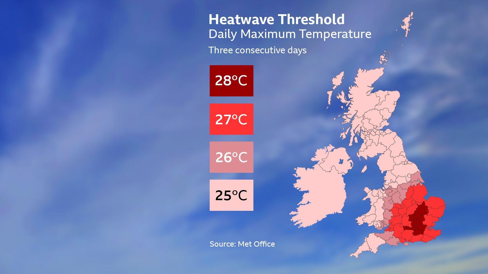 Image source, BBC Weather
We're not likely to exceed the 'heatwave threshold' temperatures next week
Do be prepared for high levels of UV, as the sun is as strong this time of year as it is in August.
If you're a hay fever sufferer, another feature of the warm, sunny weather will be an increase in pollen levels.
How unusual is this?
This will be the warmest weather of the year so far and the warmest since early September.
However, April can bring big swings in temperature, and it is not unusual to see this type of hot spell during spring. The highest April temperature ever recorded is 29.4C which was reached in London on 16 April 1949. However, the last time the temperature rose to 27C in April was in 2018 in Cambridge.
As our climate continues to warm, we expect this type of spring heat to occur more often. Recent analysis found that spring is the fastest-warming season in the United Kingdom.
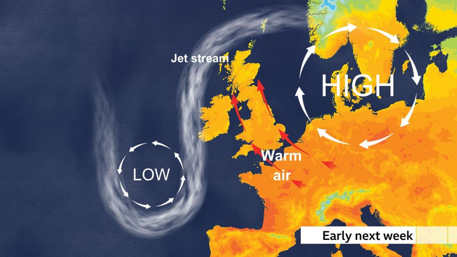
A distorted jet stream pattern early next week means temperatures will rise.
How long will it last?
The blocked weather pattern responsible for this burst of warmth could remain in place until the end of next week but there are signs of a cooler, more unsettled spell towards the next Bank Holiday weekend.
You can find out how warm it will be where you are on the BBC Weather app or by catching up with the latest Weather for the Week Ahead.