 3 months ago
84
3 months ago
84
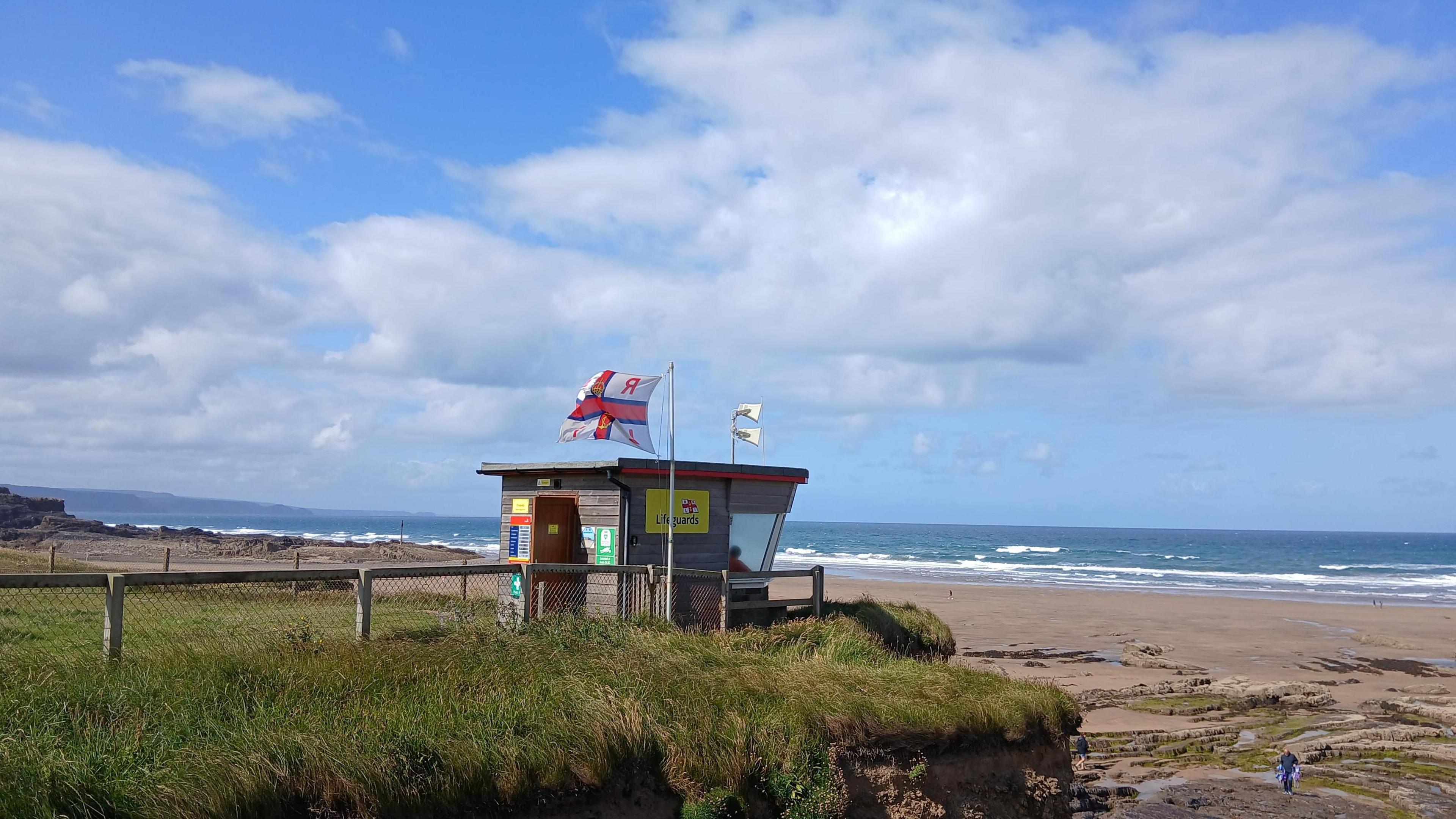 Image source, BBC Weather Watchers / crookletscob
Simon King
Lead Weather Presenter
The heatwave of last week is over and while it will feel fresher on Monday for many parts of the UK, it's likely to be just a temporary lull.
Those cooler conditions over the next day or so will come a mixture of sunny spells and occasional blustery showers.
However, the heat will build quickly on Wednesday across central and south-eastern areas of England with temperatures heading back up into the high twenties.
By the end of the week a few locations across eastern England may even experience another heatwave.
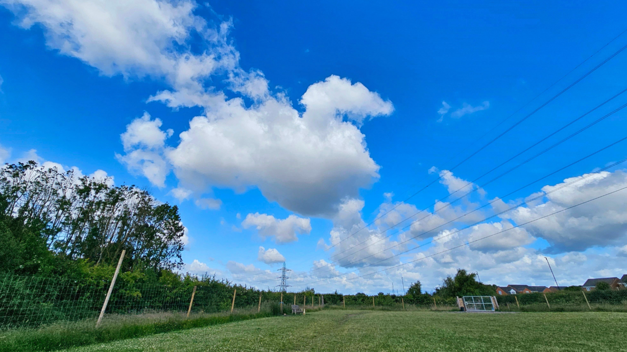 Image source, BBC Weather Watchers / Figaro
The start of this week feels much fresher compared to the recent heatwave
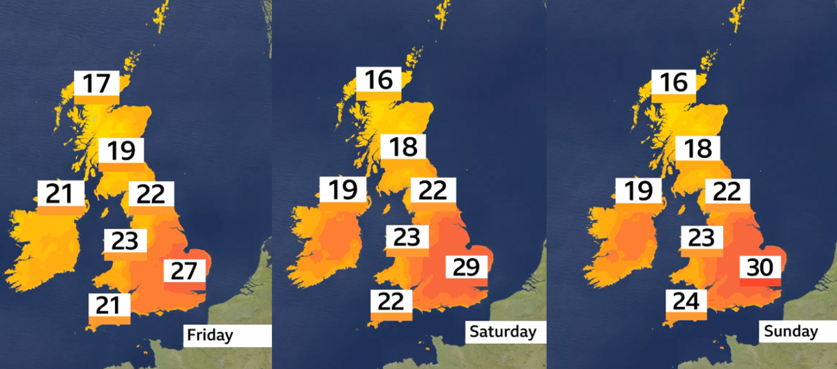
Even though the fresher feel on Monday might make you think that we've "had our summer", the reality is that temperatures are now actually closer to the seasonal average – around 17C to 24C (63-75F).
The blustery showers and sunny spells are also all very normal for a British summer.
There may even be an odd interruption to the Test cricket at Headingly on Monday or a delayed start to Tuesday's play with some overnight rain taking a while to clear away.
On Wednesday though those brisk westerlies switch more to a south-westerly flow which will start to draw some hotter weather in across parts of the UK.
Temperatures will rise to 26C to 29C across the Midlands, eastern and south-eastern England.
The heat and higher humidity will then bring the chance of some heavy and thundery showers across eastern areas overnight. Some heavy, thundery rain will also spread to many parts from the west.
It could also become a little uncomfortable again for sleeping as overnight temperatures won't go much below 15C to 17C in eastern areas.
Some parts of the UK may have another heatwave this weekend
While Thursday will be a little fresher with lower temperatures again, hotter weather looks like returning to some places for the end of the week.
However, it's only really the Midlands, and eastern and southern England that will get that hotter weather with temperatures rising to 26C to 30C (79-86F) quite widely and possibly having a heatwave.
For most, temperatures will only go above the Met Office's pre-defined heatwave threshold temperatures for a couple of days – not the three needed for an official one.
Glastonbury and Wimbledon?
As the gates open to Glastonbury on Wednesday it's looking like a fine day to get set up with temperatures rising to 25C.
But the main risk of rain will be on Wednesday night as a band of thundery rain moves from west to east across England.
So it could be a rather muddy start to the Thursday even if the forecast for the rest of the day is looking dry and a bit cooler at 20C.
As the festival really gets going by the end of the week the weather is looking pretty favourable with lots of dry weather with warm sunny spells.
The hot weather is also likely to still be around at least at the start of next week and the opening days of the Wimbledon Championships.
Temperatures into the high twenties are expected on Monday before they fall to the mid-twenties for the rest of the week.
And as for rain? While it looks predominantly dry for the first week of Wimbledon, the forecast this far ahead is always tricky so best to stay up to date on the BBC Weather app or website.